 LandmAIn
Colorado Site Map
See the context.
Investigate the possibilities.
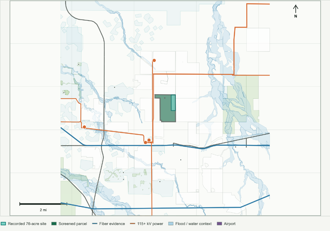
Explore five representative site screens in the eastern Denver metro corridor. Select a location to review its published map, infrastructure context, and next diligence questions.
Published screening examples, not operating data center campuses or available listings. Policy and zoning were reviewed October 24, 2026. Infrastructure retains its original source dates. Review current records before acting.
5 published screens
Aurora East A
Aurora municipal benchmark with a recorded 76-acre site inside a 493-acre screen. The county drafting direction does not change this site's governing process or prove availability.
No published screens match these filters. Reset the filters or discuss a different geography with LandmAIn.
Coverage & methodology
Read the map with its evidence.
- Four examples are parcel screens; Strasburg is a zoning search area that may contain multiple properties and existing uses.
- Mapped distances are proximity measurements. They do not confirm service availability, connections, legal access, land control, or development approval.
- Policy labels describe the retained review date. Rebuilding this page does not recheck county rules or provider commitments.
- Sources include county GIS and planning records, retained infrastructure layers, and the records identified in the published profiles.